Sign up for our Newsletter
OceanGrafix Bathymetric (Bathy) & Fishing Charts
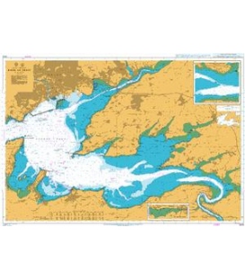
The topography under the water
Bathymetric charts by OceanGrafix provide the submerged equivalent of above-water topographic maps. They are designed to present an accurate, measurable description and visual presentation of the submerged terrain.