

Sign up for our Newsletter
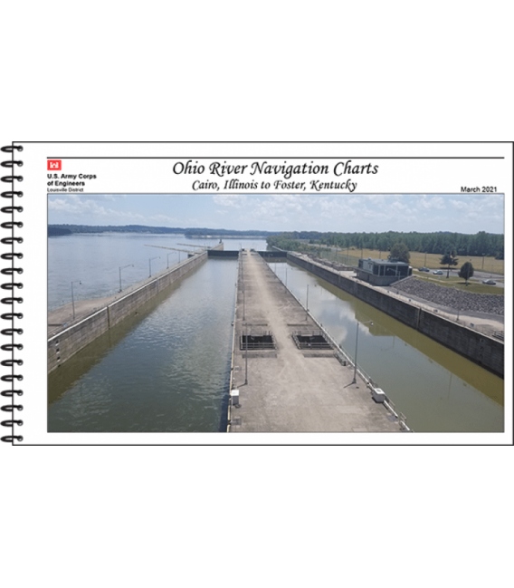
Ohio River Navigation Charts: Cairo, Illinois to Foster, Kentucky (March 2021)
This paper navigational chart book covers the Ohio River from Cairo, Illinois to Foster, Kentucky. It was published in 2021 and is 320 pages.
U.S. Army Corps of Engineers paper navigational chart books are published to benefit both the professional and recreational maritime community. These chart books are spiral bound with sturdy covers and are designed for heavy service on any bridge. Mariners will find not only navigational charts within the pages of this chart book, but critical navigational safety information such as information pertaining to buoys, vertical clearances under bridges, warning to pleasure boaters and fisherman to include restricted and danger area boundaries, locks and dams, signals, lockage of tows, moorings, and more. Well-defined chart legends, and multiple indices make this chart book more than a simple navigational tool.


