Sign up for our Newsletter


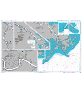
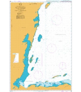
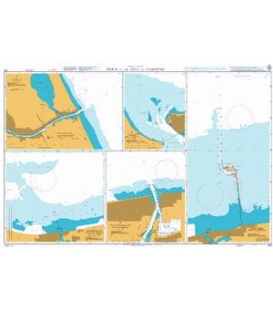
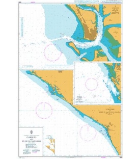
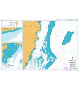
British Admiralty Nautical Chart 374 Ports in the Gulf of Mexico


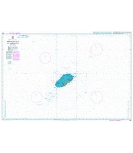
Canceled & Replaced by Chart 363 Tampico (NM 39/14) & 375 Approaches to Veracruz (NM 47/15)
More info
British Admiralty Nautical Chart 374 Ports in the Gulf of Mexico
is corrected up to date. Admiralty standard nautical charts comply with Safety of Life at Sea (SOLAS) regulations and are ideal for professional, commercial and recreational use. Charts within the series consist of a range of scales, useful for passage planning, ocean crossings, coastal navigation and entering port. Mariners should always use the largest scale nautical chart appropriate to their needs. In particularly busy seaways such as the English Channel, Gulf of Suez and the Malacca and Singapore Straits, the standard nautical charts are supplemented by mariners routeing guides which provide advice on route planning in these complex areas.
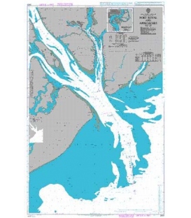
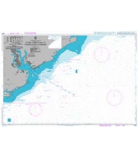
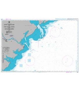
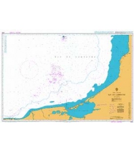
Chart 374
Main Chart Details
- Chart Title: Ports in the Gulf of Mexico
- Publication Date: 17/04/1955
- Latest Edition date: 17/11/2011
- Chart Size: 645 x 975 (mm)
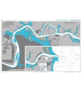
Chart Panel Details
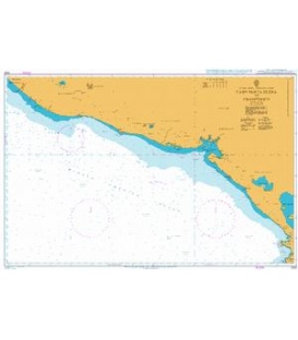
- Panel Name A Tampico
- Natural Scale 25000
- North Limit 22 16'.83N
- East Limit 97 43'.00W
- South Limit 22 12'.10N
- West Limit 97 52'.38W
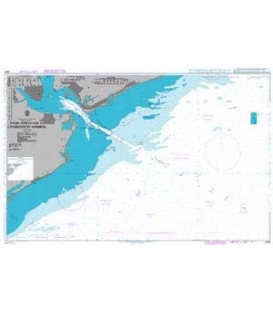
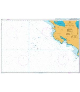
- Panel Name D Punta el Coyol to Punta Zempoala
- Natural Scale 150000
- North Limit 19 28'.50N
- East Limit 95 41'.00W
- South Limit 18 59'.30N
- West Limit 96 20'.25W
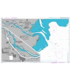
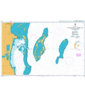
- Panel Name B Approaches to Veracruz
- Natural Scale 37500
- North Limit 19 14'.60N
- East Limit 96 02'.12W
- South Limit 19 09'.70N
- West Limit 96 10'.82W
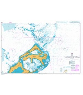
- Panel Name C Veracruz
- Natural Scale 12000
- North Limit 19 12'.90N
- East Limit 96 06'.90W
- South Limit 19 11'.33N
- West Limit 96 08'.47W