Sign up for our Newsletter


NGA publishes a suite of paper nautical charts that typically junction with NOAAÕs suite of nautical charts. In general, NOAA is responsible for publishing charts of the coastal U.S., while NGA publishes open ocean charts. NGA also publishes charts of some Pacific Islands as well as charts that may cover foreign waters. Please noted: Latest edition but NOT corrected up to date. NO RETURN or EXCHANGE Policy on the Print-on-Demand nautical charts.
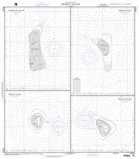
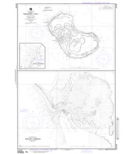
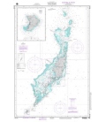
Mariana Is.
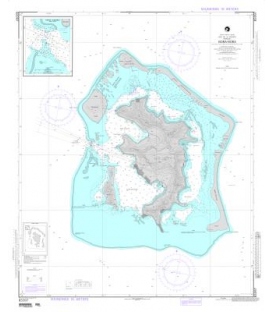
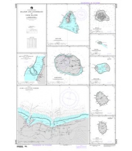
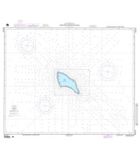
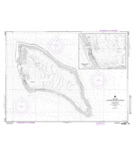
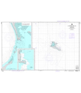
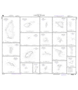
Caroline Islands (North Pacific Ocean)
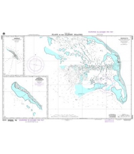
A. Pulap Atoll 50,000
B. West Fayu Atoll 50,000
C. Merir 72,560
D. Namoluk Atoll 50,000
E. Fayu 50,000
F. Satawal 100,000
G. Ifalik Atoll 50,000
J. Pikelot 50,000
K. Pulusuk 50,000
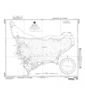
L. Fais (25,000)
M. Eauripik Atoll 100,000
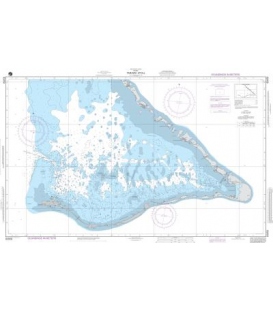
N. Puluwat Atoll 50,000
P. Sonsorol Islands 72,560
Q. Sorol Atoll 100,000
R. Pulo Anna 72,560
S. Kepulauan Mapia No scale listed
T. Tobi 72,560
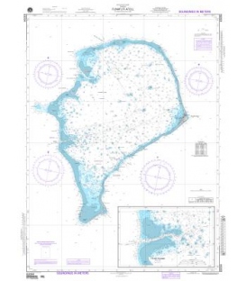
V. Olimarao Atoll 100,000