Sign up for our Newsletter


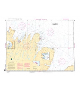
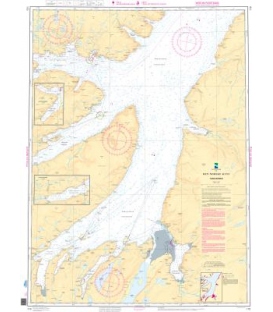
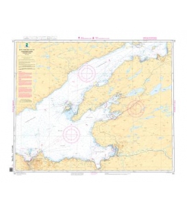
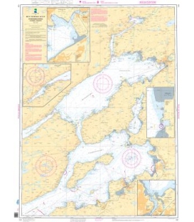
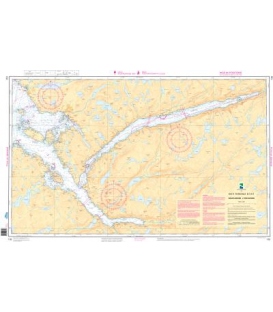
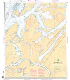
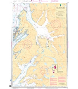
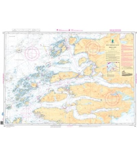
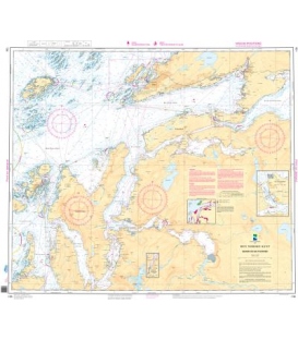
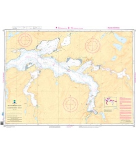
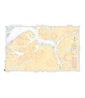
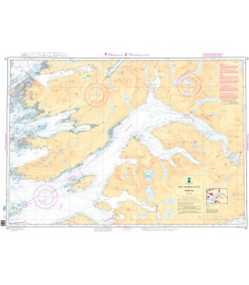
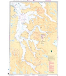
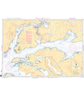
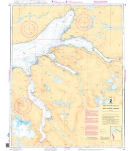
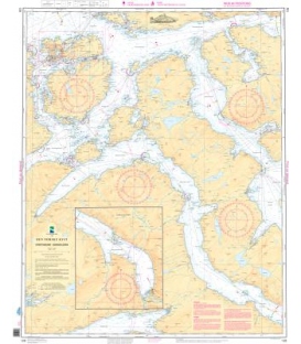
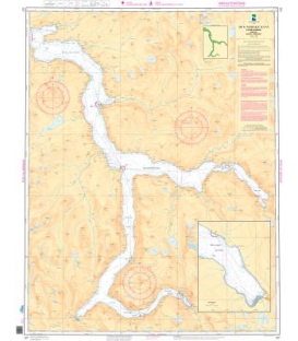
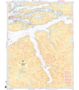
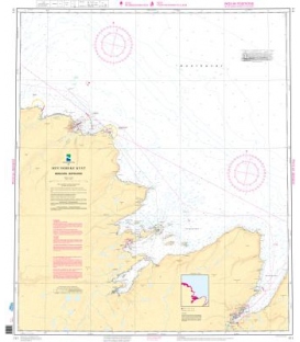
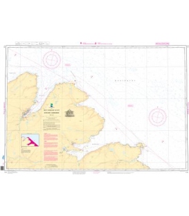
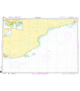
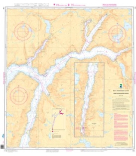
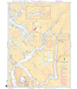
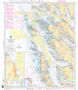
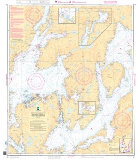
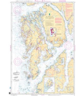
Norwegian Nautical Chart 19 Ryvarden - Selbjørnsfjorden
Ryvarden - Selbjørnsfjorden (50,000)
Inset A. Kuleseid-Kanalen (20,000)
Inset B. Sagvag (20,000)
Inset C. Mosterhamn (20,000)
Inset D. Espevaer (20,000)
Inset E. Alfjordbotn (50,000)
Online Chart Viewer
More info
Norwegian Nautical Chart 19 Ryvarden - Selbjørnsfjorden
Scale: 1 : 50 000
Paper Size: 36.0" x 46.0"
Actual Chart Size: 45.3" x 31.9"
Edition #: 11
Edition Date: 2022-02-16
The hardcopy of standard Norwegian navigational/nautical charts for the coast of Norway, the coast of Svalbard, maritime zones and harbours. Paper Type: Water Resistant.
Please noted: Due to dated material, NO RETURN or EXCHANGE Policy on the Print-on-Demand nautical charts.