Sign up for our Newsletter


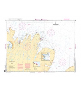
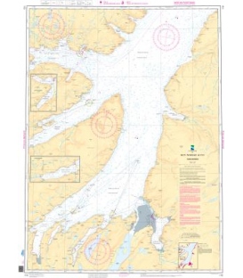
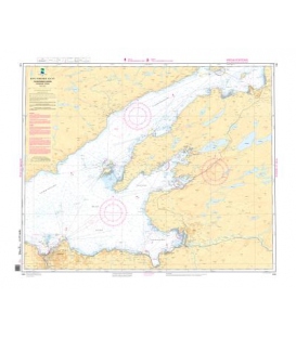
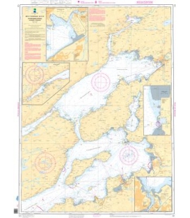
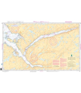
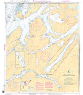
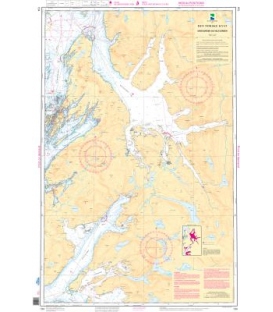
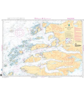
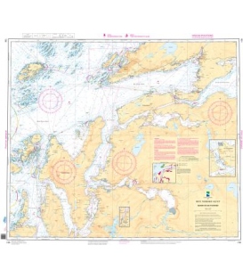
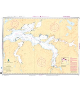
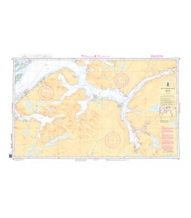
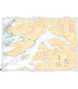
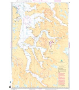
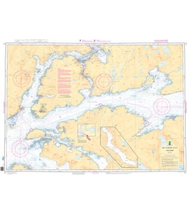
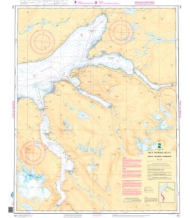
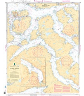
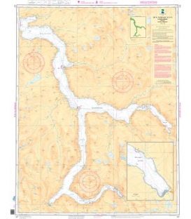
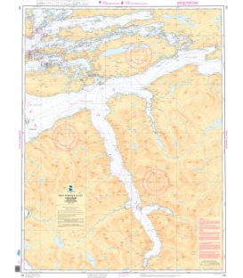
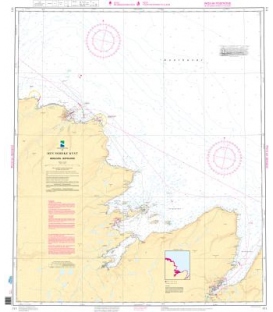
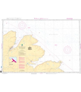
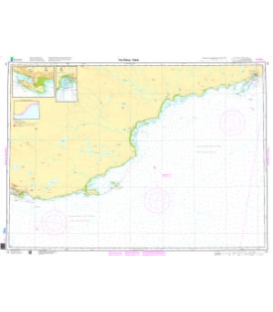
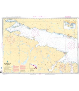
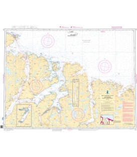
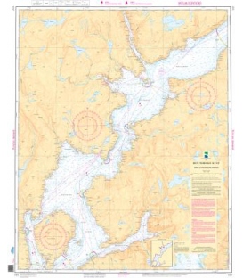
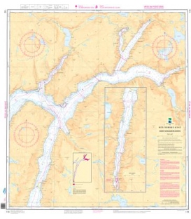
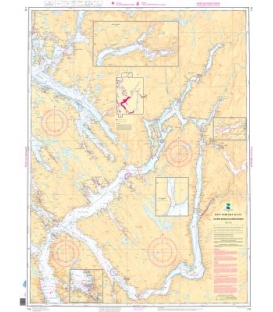
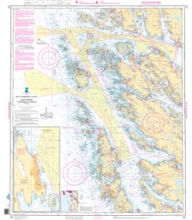
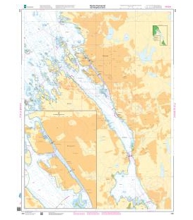
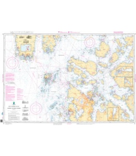
Norwegian Nautical Chart 16 Tananger - Stavanger - Skudenes
Tananger - Stavanger - Skudenes (50,000)
Inset A: Ardalsfjorden (50.000)
Inset B: Botnefjorden (50.000)
Inset C: Gandsfjorden (50.000)
Scale: 1 : 50,000
Paper Size: 36.0" x 47.0"
Actual Chart Size: 46.8" x 32.2"
Edition #: 10
Edition Date: 2024-06-01
Online Chart Viewer
More info