Sign up for our Newsletter


More info
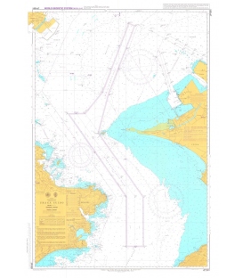
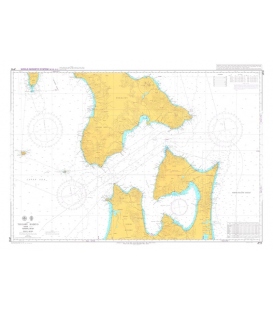
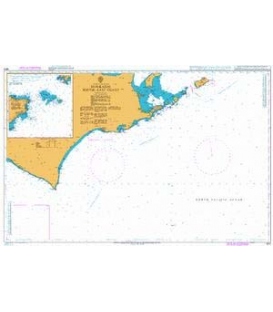
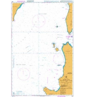
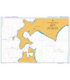
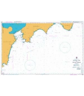
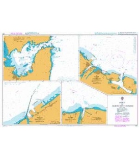
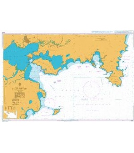
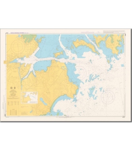
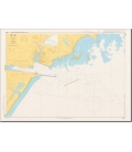
British Admiralty Japanese Nautical Chart 64A Shiogama
Co-ordinates given are usually those of the four extremities of the chart. In many cases not all the area within will be fully charted*.Customers should check that the chart meets their requirements by viewing the chart image (where available).Mariners should always use the largest scale navigational chart available.
Chart JP64A
Main Chart Details
- Chart Title: Shiogama
- Publication Date: 01/03/2012
- Latest Edition date: 06/09/2018
- Chart Size: 979 x 676 (mm)
Chart Panel Details
- Panel Name Shiogama
- Natural Scale 10000
- North Limit 38 20'.45N
- East Limit 141 08'.02E
- South Limit 38 16'.80N
- West Limit 141 01'.30E