Sign up for our Newsletter


More info
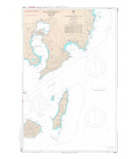
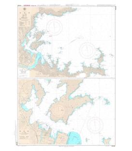
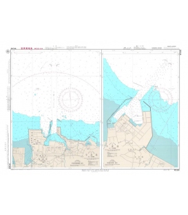
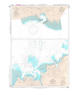
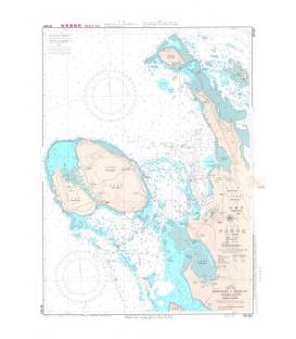
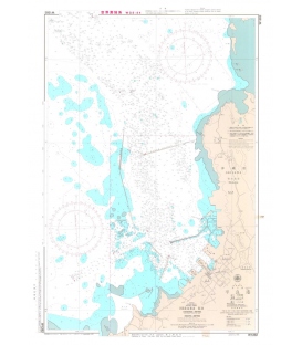
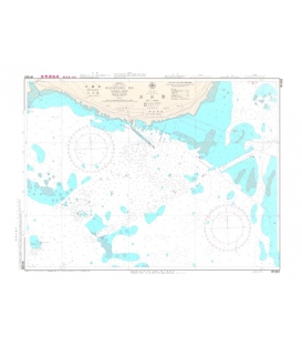
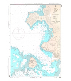
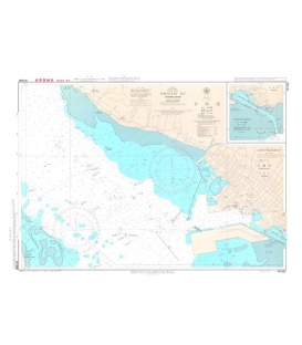
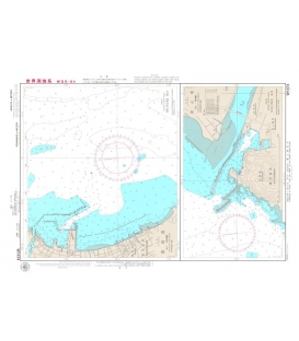
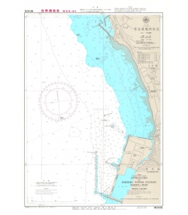
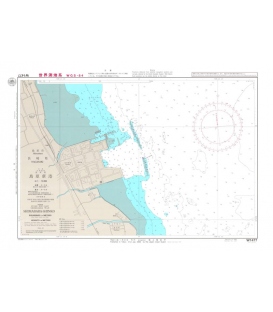
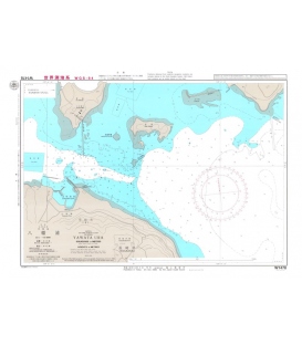
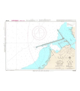
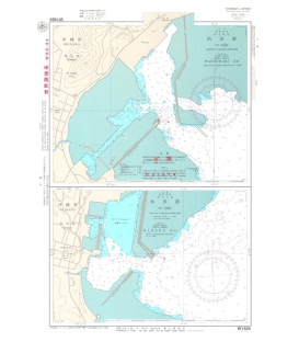
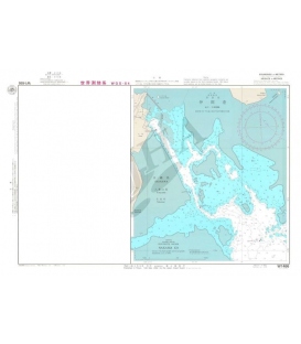
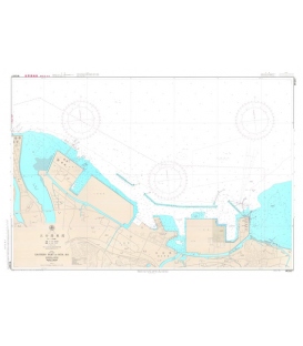
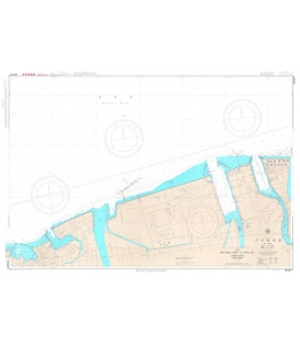
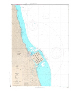
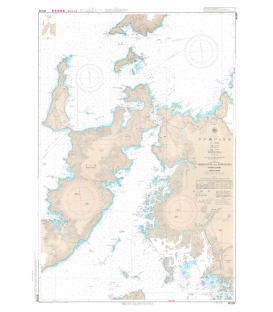
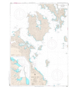
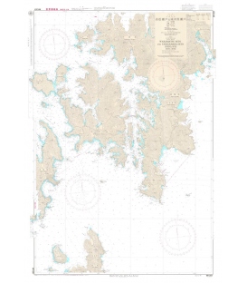
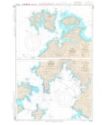
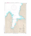
Japan Hydrographic Association (JHA) Nautical Chart W1201 Yamagawa Ko and Approaches
Japanese official paper charts published by the Japan Coast Guard (JCG). All W charts are written in bilingual, Japanese and English. The color of land is printed in grey. Chart Dimensions 765mmx542mm