Sign up for our Newsletter


More info
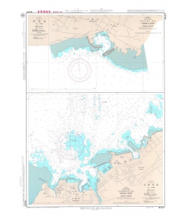
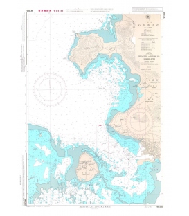
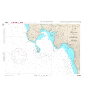
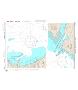
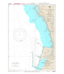
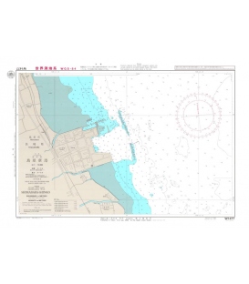
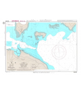
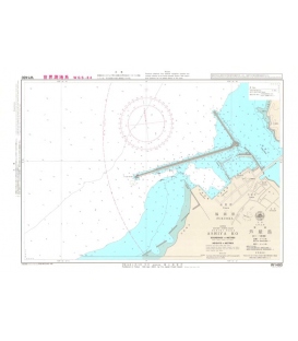
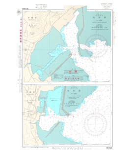
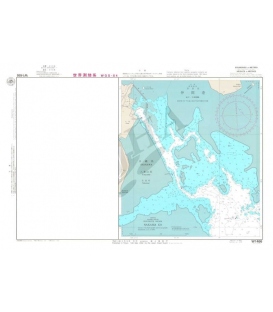
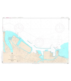
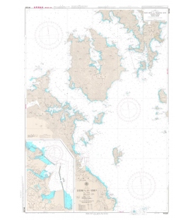
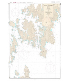
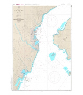
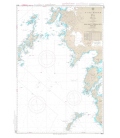
Japan Hydrographic Association (JHA) Nautical Chart W214A Northern Part of Kagoshima Ko
Japanese official paper charts published by the Japan Coast Guard (JCG). All W charts are written in bilingual, Japanese and English. The color of land is printed in grey. Edition 2013-12, Scale 12,000, Chart Dimensions 1,085mmx765mm