

Sign up for our Newsletter
Top sellers
-
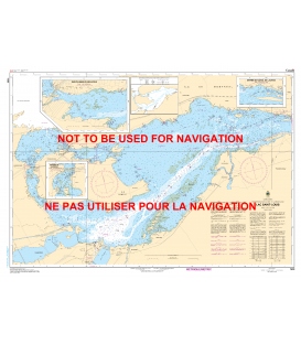
CHS 1430 Lac Saint-Louis
$21.30Quebec - St. Lawrence SeawayLac Saint-Louis (25,000)Inset: Sainte-Anne-De-Bellevue (10,000)Inset: Entree du Canal de Lachine (10,000)Inset: Rapides de Vaudreuil (10,000) Paper Size: 36.0" x 48.0"Actual Chart Size: 31.7" x 44.3" Edition Date: 2018-11-23 Online Chart Viewer
-
-
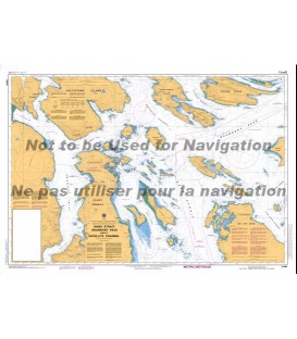
CN 1311 Sorel-Tracy a - to Varennes
$21.30Scale: 40,000Size: 36.0" x 49.0"Edition #: 5Edition Date: 2019-05-17Last Notice: N/A Online Chart Viewer
-
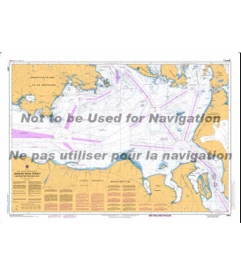
Canadian Nautical Chart 1350 Sorel-Tracy a - to Otterburn-Park
$29.22Edition Date: 2016-11-04Scale: 15,000Region: Quebec
-
CHS 2017 Kingston Harbour and Approaches
$21.30St. Lawrence R.Kingston Harbour and Approaches (15,000) Paper Size: 36.0" x 48.0"Actual Chart Size: 31.7" x 44.8" Edition Date: 2020-07-15 Online Chart Viewer

