

Sign up for our Newsletter
Top sellers
-
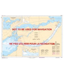
CHS 1431 Canal de Beauharnois
$21.30Quebec - St. Lawrence R.Canal de Beauharnois (25,000)Inset: Baie Saint-Francois (12,500)Inset: Port de Valleyfield (5,000) Paper Size: 36.0" x 48.0"Actual Chart Size: 31.7" x 44.7" Edition Date: 2022-02-25 Online Chart Viewer
-
CHS 1432 Lac Saint-Francois - Lake St. Francis
$21.30St. Lawrence R.Lac Saint-François/Lake St. Francis (25,000) Paper Size: 36.0" x 49.0"Actual Chart Size: 31.5" x 45.5" Online Chart Viewer
-
CHS 1439 Carleton Island to Charity Shoal
$21.30St. Lawrence R. - Lake OntarioCarleton Island to Charity Shoal (30,000) Paper Size: 36.0" x 48.0"Actual Chart Size: 31.7" x 44.8" Edition Date: 2020-09-15 Online Chart Viewer
-
CN 1512 Ottawa to Smiths Falls
$24.27Rideau CanalOttawa to Smiths Falls (20,000) See Panels & Insets below:
-
CHS 1515 Papineauville to Ottawa
$19.32Quebec - Ontario, Ottawa R.Papineauville to Becketts Creek (20,000)Becketts Creek to Ottawa (20,000)Inset: Hull - Ottawa (20,000)Inset: Leamy Lake (20,000) Paper Size: 36.0" x 61.0"Actual Chart Size: 35.5" x 57.5" Edition Date: 2016-04-29 Online Chart Viewer
-
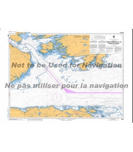
CN 4307 Canso Harbour to Strait of Canso
Nova Scotia - Chedabucto BayCanso Harbor to Strait of Canso (37,500) *** Canceled, replaced by CN4301

