Sign up for our Newsletter


More info
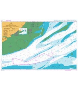
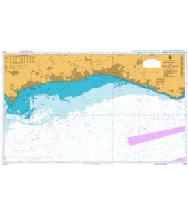
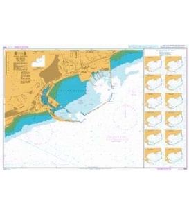
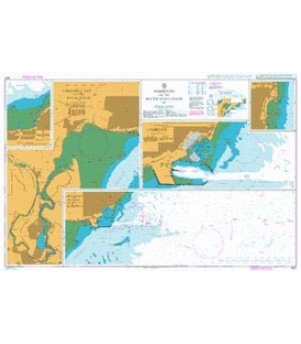
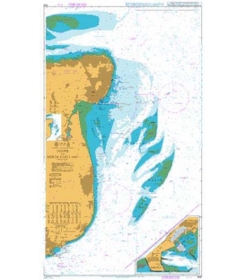
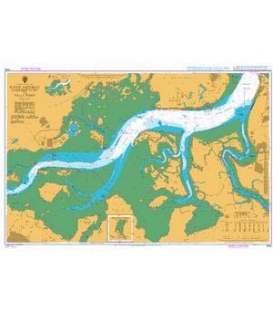
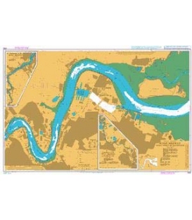
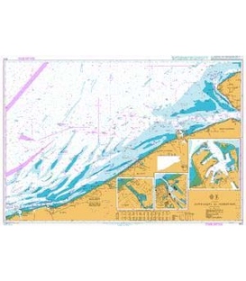
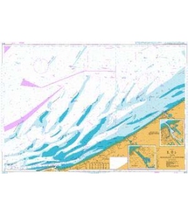
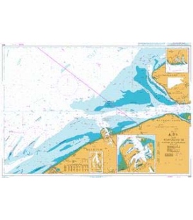
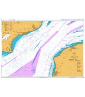
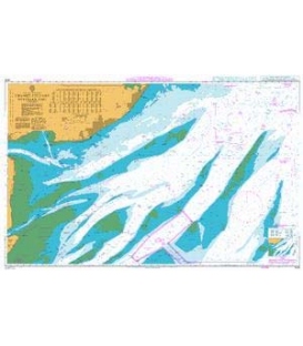
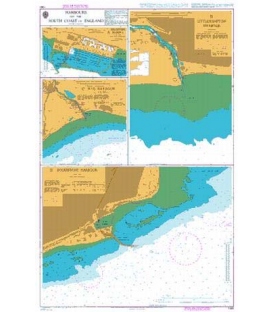
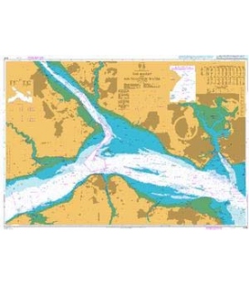
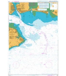
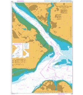
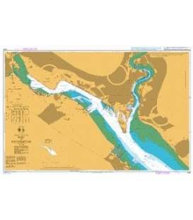
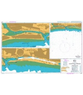
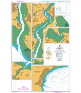
British Admiralty Nautical Chart 2022 Harbours and Anchorages in the East Solent Area
is corrected up to date. Admiralty standard nautical charts comply with Safety of Life at Sea (SOLAS) regulations and are ideal for professional, commercial and recreational use. Charts within the series consist of a range of scales, useful for passage planning, ocean crossings, coastal navigation and entering port. Mariners should always use the largest scale nautical chart appropriate to their needs. In particularly busy seaways such as the English Channel, Gulf of Suez and the Malacca and Singapore Straits, the standard nautical charts are supplemented by mariners routeing guides which provide advice on route planning in these complex areas.
Chart 2022
Main Chart Details
- Chart Title: Harbours and Anchorages in the East Solent Area
- Publication Date: 15/03/1985
- Latest Edition date: 27/02/2020
- Chart Size: 650 x 1000 (mm)
Chart Panel Details
- Panel Name D Ashlett Creek
- Natural Scale 10000
- North Limit 50 50'.27N
- East Limit 1 19'.15W
- South Limit 50 49'.55N
- West Limit 1 20'.49W
- Panel Name A Entrance to River Hamble
- Natural Scale 5000
- North Limit 50 51'.71N
- East Limit 1 18'.11W
- South Limit 50 49'.93N
- West Limit 1 19'.04W
- Panel Name B River Hamble Port Hamble to Bursledon
- Natural Scale 5000
- North Limit 50 53'.28N
- East Limit 1 17'.76W
- South Limit 50 51'.58N
- West Limit 1 18'.84W
- Panel Name C River Hamble Bursledon to Botley
- Natural Scale 25000
- North Limit 50 54'.93N
- East Limit 1 14'.99W
- South Limit 50 52'.99N
- West Limit 1 18'.09W
- Panel Name G Hillhead Harbour
- Natural Scale 3000
- North Limit 50 49'.11N
- East Limit 1 14'.36W
- South Limit 50 49'.01N
- West Limit 1 14'.69W
- Panel Name H Wootton Creek
- Natural Scale 10000
- North Limit 50 44'.60N
- East Limit 1 11'.94W
- South Limit 50 43'.44N
- West Limit 1 13'.79W
- Panel Name F Sandown Bay
- Natural Scale 20000
- North Limit 50 39'.98N
- East Limit 1 05'.09W
- South Limit 50 36'.89N
- West Limit 1 12'.23W
- Panel Name E Bembridge Harbour
- Natural Scale 5000
- North Limit 50 41'.86N
- East Limit 1 05'.34W
- South Limit 50 41'.40N
- West Limit 1 06'.54W