

Sign up for our Newsletter
More info
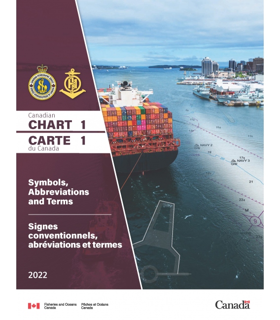
Canadian Chart 1 Symbols Abbreviations & Terms (2023 Edition)
Canadian Chart 1 Symbols Abbreviations & Terms 2016 Edition provides explanations of the symbols, terms and abbreviations used in Canadian (CHS) nautical charts. Chart 1 is a publication containing explanations of the symbols, terms and abbreviations needed to interpret nautical charts published by the Canadian Hydrographic Service. Member nations of the International Hydrographic Organization produce Chart 1 using a common format. That common format consists of sections identified by letters and symbols, abbreviations or terms identified by a reference number. All Chart 1s organize these sections and symbols, abbreviations, or terms in the exact same order.
CONTENTS |
|
| INTRODUCTION | |
| and Schematic Layout | |
| GENERAL | |
| A | Chart Number, Title, Marginal Notes |
| B | Positions, Distances, Directions, Compass |
| TOPOGRAPHY | |
| C | Natural Features |
| D | Cultural Features |
| E | Landmarks |
| F | Ports |
| G | (Not currently used) |
| HYDROGRAPHY | |
| H | Tides, Currents |
| I | Depths |
| J | Nature of the Seabed |
| K | Rocks, Wrecks, Obstructions |
| L | Offshore Installations |
| M | Tracks, Routes |
| N | Areas, Limits |
| O | (Not currently used) |
| AIDS AND SERVICES | |
| P | Lights |
| Q | Buoys, Beacons |
| R | Fog Signals |
| S | Radar, Radio, Satellite Navigation Systems |
| T | Services |
| U | Small Craft |
| ALPHABETICAL INDEXES | |
| V | Index of Abbreviations |
| W | International Abbreviations |
| X | List of Descriptions |

