

Sign up for our Newsletter
Caribbean
-
-
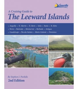
Cruising Guide to the Leeward Islands, 2nd Edition 2012
$58.46Author: Stephen J. PavlidisPubDate: 2012Cover: PBPages: 294Index: YISBN: 9781892399366
-
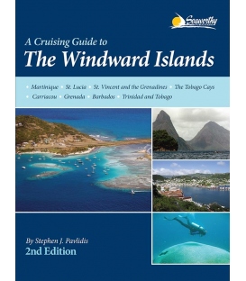
Cruising Guide to the Windward Islands, 2nd Editon 2013
$62.96By Stephen J. PavlidisISBN: 9781892399373• Martinique • St. Lucia • St. Vincent and the Grenadines• The Tobago Cays • Carriacou • Grenada • Barbados• Trinidad and Tobago
-
The Great Book of Anchorages: The Bahamas, 2013-2016
*** 5 Feb 2018, No longer available from the publisher Featuring Wavey Line Ltd. Charts
-
Cruising Guide to the Southern Leeward Islands, 17th Edition, 2025-2026
$31.45Dimensions: 9 in × 6 in × 1 in
-
Cruising Guide to the Northern Leeward Islands, 17th Edition, 2025-2026
$31.45Dimensions: 9 in × 6 in × 1 in
-
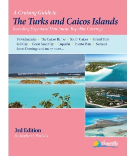
Cruising Guide to The Turks and Caicos Islands, 3rd Edition 2015
$38.66ISBN: 9781892399403 Features New Completely Updated Third Edition of this Pavlidis Guide! New Full-color Aerial Photos All Original Charts Based on Personal Surveys Conducted by the Author Extensive Navigational Instructions, and GPS Waypoints
-
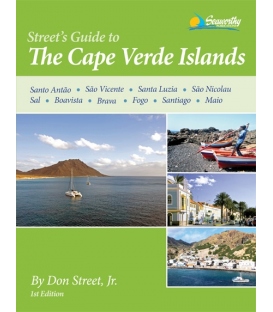
Street's Guide to the Cape Verde Islands, 1st Edition 2011
$49.45Author: Don Street Jr. ISBN: 978-1-892399-34-2 Pages: 172 Pub Date: 2011
- 1
- 2

