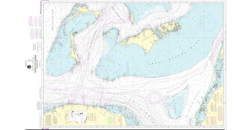
First up, improving charts and geodesy for Straits of Florida
Coast Survey welcomed Cuban colleagues to NOAA offices, as representatives of Cuba’s National Office of Hydrography and Geodesy (ONHG) traveled to Maryland. In March, NOAA and ONHG signed a Memorandum of Understanding in Havana.
“We’ve identified a broad sweep of navigation issues for collaboration, and we’ve started to produce tangible results,” said Dr. Russell Callender, assistant administrator of NOAA’s National Ocean Service, at the start of three days of work sessions. “On behalf of NOAA, I’d like to express my appreciation for the progress made by our two agencies.”
The MOU, which is focused on improving maritime navigation safety and related areas of mutual interest to protect lives and property at sea, is the framework for continuing consultations between NOAA’s National Ocean Service and ONHG.
“The collaboration between our two countries is the way to move forward,” said Dr. Candido Alfredo Regalado Gomez, chief of Cuba’s National Office of Hydrography and Geodesy. “We are here to work.”