

Sign up for our Newsletter
Top sellers
-
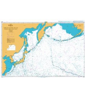
British Admiralty Nautical Chart 4008 A Planning Chart for the North Pacific Ocean
$54.95***If purchasing charts for framing please advise for proper shipping
-
British Admiralty Nautical Chart 4021 South Atlantic Ocean Eastern Part
$54.95Edition: 2/12INT. 21South Atlantic Ocean - Eastern Part (10,000,000)
-
W1232 Sasebo Ko and Approaches
$58.50Scale: 1:40,000Geodetic Datum: The World Geodetic System 84(WGS-84)Language: Japanese/EnglishPublished Date: 2018-03
-
CHS 1513 Smith Falls to Kingston including Tay River to Perth
$34.17Rideau CanalSmith Falls to Kingston including Tay River to Perth See Panels & Insets below:


