

Sign up for our Newsletter
Top sellers
-
British Admiralty New Zealand Nautical Chart NZ8275 Nuku'Alofa Harbour
*** Canceled, replaced by BATO502 (31Mar22)
-
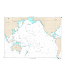
W2 Nippon to Australia-North Coast
*** Canceled, no replacement (NM 32/21). Alternatively, W1009 or JPN1 can be used, but at a much larger scale (1:5,000,000) Scale: 1:8,800,000Geodetic Datum: The World Geodetic System 84(WGS-84)Language: Japanese/EnglishPublished Date: 2002-03
-
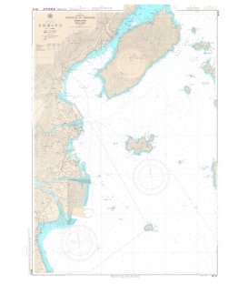
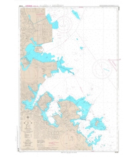
W142 Hiroshima Wan
***We do not stock this chart as there is a UKHO reproduction of it (BAJ0142)
-
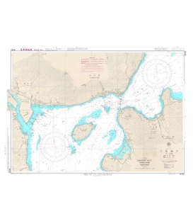
W152 Obatake Seto
W152 Obatake Seto Scale: 1:15,000Geodetic Datum: The World Geodetic System 84(WGS-84)Language: Japanese/EnglishPublished Date: 2021-04
-
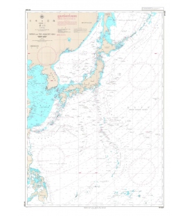
W1009 Nippon and the Adjacent Seas
$58.50Scale 1:5,000,000Published Date (Y/M): 2008-06Geodetic Datum: The World Geodetic System 84(WGS-84)Chart Dimensions: chart/1,085mmx765mmLanguage: Japanese/EnglishIssuer/Publisher: JHA/Japan Coast Guard *** See also JHA-JPN0001
-
W1083 Yokosuka Ko Yokosuka
*** We do not stock this chart as there is a UKHO reproduction of it (BAJ1083)
-
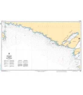
CN 2298 Cove Island to Duck Islands
$21.30Scale: 91,010Size: 36.0" x 48.0"Edition #: 2Edition Date: 2016-03-25 Online Chart Viewer

