

Sign up for our Newsletter
Top sellers
-
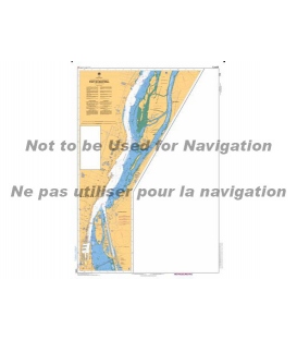
CN 1310 Port de Montreal
$21.30St. Lawrence R.Port of Montreal (15,000)Inset: Jetee Alexandra (10,000) Size: 36.0" x 49.0"Edition #: 6Edition Date: 2019-06-07 Online Chart Viewer
-
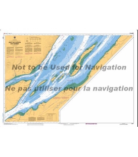
CN 1317 Sault-au-Cochon a - to Quebec
$21.30Scale: 50,000Paper Size: 36.0" x 48.0"Actual Chart Size: 31.8" x 44.7"Edition #: 4Edition Date: 2020-04-02Last Notice: N/A Online Chart Viewer
-
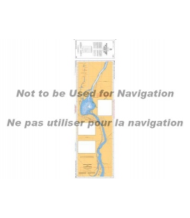
Canadian Nautical Chart 1351 Bassin de Chambly au lac - to Lake Champlain
$29.22Edition Date:2016-11-18Region:QuebecScale:15,000
-
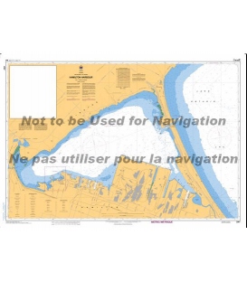
CN 2067 Hamilton Harbour
$21.30Scale: 10,000Size: 36.0" x 49.0"Edition #: 3Edition Date: 2018-11-02Last Notice: N/A Online Chart Viewer
-
CN 2235 Cape Hurd to - a Lonely Island
$21.30Lake Huron - Georgian BayCape Hurd to Lonely Island (60,000) Scale: 60,000Paper Size: 36.0" x 49.0"Actual Chart Size: 31.1" x 45.6"Edition #: 2Edition Date: 2021-10-01 Online Chart Viewer
-
CN 4024 Baie des Chaleurs/Chaleur Bay aux/to Îles de la Madeleine
$21.30Scale: 350,000Edition Date (Y/M/D): 2015-03-06

