Sign up for our Newsletter
Pacific Region
**Click image for catalog

-
CN 3493 Vancouver Harbour Western Portion - Partie Ouest
$21.30Scale: 10,000Paper Size: 36.0" x 47.0"Actual Chart Size: 31.7" x 43.9"Edition #: 4Edition Date: 2019-11-14Last Notice: N/A Online Chart Viewer
-
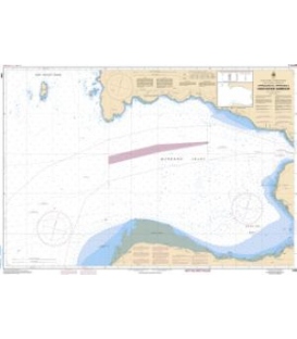
CN 3312 Jervis Inlet & Desolation Sound and Adjacent Waterways - et les voies navigables adjacentes
$87.12This is an atlas (about 3/4" thick) of charts which also contains much information from the CHS Sailing Directions, etc. *** 25 Jun 2019, Out of Print, and will probably not be reprinted as CHS may make it available in digital form only. Alternatively, you can use the individual charts of this area.
-
CN 3311 Sunshine Coast, Vancouver Harbour to - a Desolation Sound
$32.67This is an atlas (about 3/4" thick) of charts which also contains much information from the CHS Sailing Directions, etc. *** 16Sep2019, Out of Print, and unlikely to be reprinted as CHS will probably retain the digital form only. As there are no individual paper charts of this area, the only choice would be the CHS electronic charts of this region.