No products
Prices are tax included
Check out
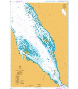
British Admiralty Nautical Chart 157...
Maryland Nautical uses cookies to enhance your e-commerce experience. To view more information about our cookie use, click here to view our Privacy Policy.