Sign up for our Newsletter
British Admiralty (Print-on-Demand + hand corrected, up-to-date)
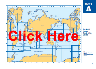
Click on the region (e.g. AA, A2, B, C...) to view the online chart catalog and to order.
Print-on-Demand British Admiralty Charts On-site production at Maryland Nautical Sales
Subcategories
-
A - The World -...
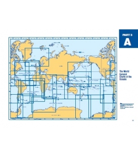
A - The World - General Charts of the Oceans $39.65 Hand corrected up-to-date. Admiralty standard nautical charts comply with Safety of Life at Sea (SOLAS) regulations and are ideal for professional, commercial and recreational use.
-
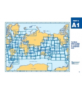
A1 - The World Index...
A1 - The World Index of Charts at 1:3,500,000 Scale $39.65 Hand corrected up-to-date. Admiralty standard nautical charts comply with Safety of Life at Sea (SOLAS) regulations and are ideal for professional, commercial and recreational use.
-
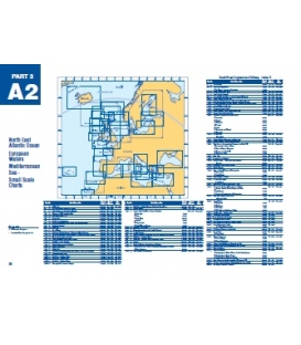
A2 - NE Atlantic...
Hand corrected up-to-date. Admiralty standard nautical charts comply with Safety of Life at Sea (SOLAS) regulations and are ideal for professional, commercial and recreational use.

-
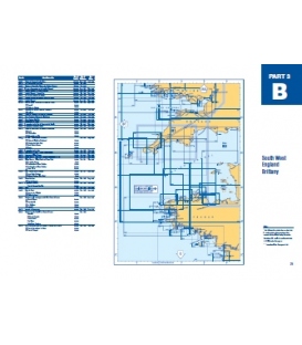
B - South West England...
$39.65 Hand corrected up-to-date. Admiralty standard nautical charts comply with Safety of Life at Sea (SOLAS) regulations and are ideal for professional, commercial and recreational use.
-
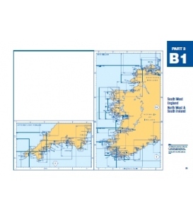
B1 - South West...
Hand corrected up-to-date. Admiralty standard nautical charts comply with Safety of Life at Sea (SOLAS) regulations and are ideal for professional, commercial and recreational use.
-
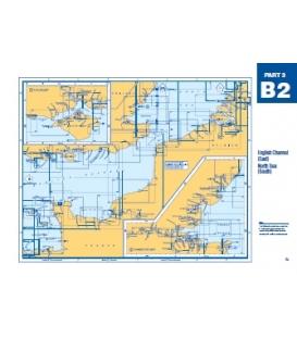
B2 - English Channel...
B2 - English Channel (East), North Sea (South) $39.65 Hand corrected up-to-date. Admiralty standard nautical charts comply with Safety of Life at Sea (SOLAS) regulations and are ideal for professional, commercial and recreational use.
-
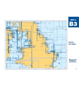
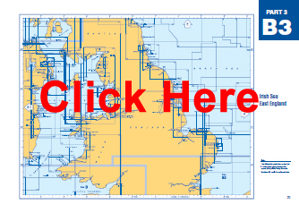
B3 - Irish Sea East...
B3 - Irish Sea East England $39.65 Hand corrected up-to-date. Admiralty standard nautical charts comply with Safety of Life at Sea (SOLAS) regulations and are ideal for professional, commercial and recreational use.
-
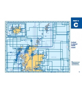
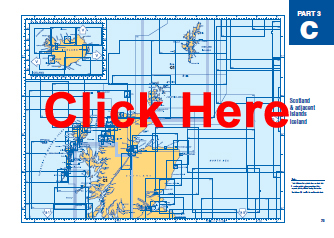
C - Scotland &...
C - Scotland & adjacent Islands, Iceland $39.65 Hand corrected up-to-date. Admiralty standard nautical charts comply with Safety of Life at Sea (SOLAS) regulations and are ideal for professional, commercial and recreational use.
-
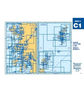
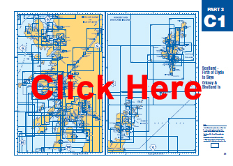
C1 - Scotland Firth of...
$39.65 Hand corrected up-to-date. Admiralty standard nautical charts comply with Safety of Life at Sea (SOLAS) regulations and are ideal for professional, commercial and recreational use.
-
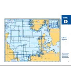
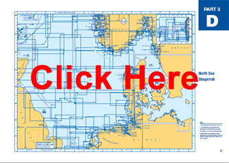
D - North Sea Skagerrak
D - North Sea Skagerrak $39.65 Hand corrected up-to-date. Admiralty standard nautical charts comply with Safety of Life at Sea (SOLAS) regulations and are ideal for professional, commercial and recreational use.
-
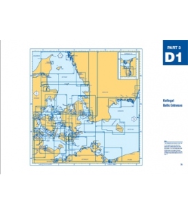
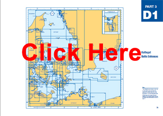
D1 - Kattegat Baltic...
D1 - Kattegat Baltic Entrances $39.65 Hand corrected up-to-date. Admiralty standard nautical charts comply with Safety of Life at Sea (SOLAS) regulations and are ideal for professional, commercial and recreational use.
-
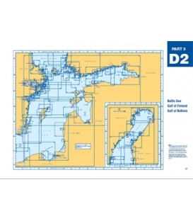
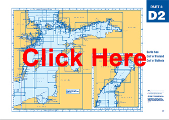
D2 - Baltic Sea, Gulf...
D2 - Baltic Sea, Gulf of Finland, Gulf of Bothnia $39.65 Hand corrected up-to-date. Admiralty standard nautical charts comply with Safety of Life at Sea (SOLAS) regulations and are ideal for professional, commercial and recreational use.
-
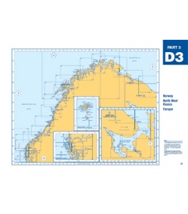
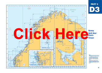
D3 - Norway, North...
D3 - Norway, North West Russia, Froyar (Faroese) $39.65 Hand corrected up-to-date. Admiralty standard nautical charts comply with Safety of Life at Sea (SOLAS) regulations and are ideal for professional, commercial and recreational use.
-
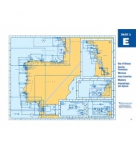
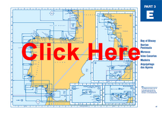
E - Bay of Biscay,...
E - Bay of Biscay, Iberian Peninsula, Morocco, Canaries, Madeira $39.65 Hand corrected up-to-date. Admiralty standard nautical charts comply with Safety of Life at Sea (SOLAS) regulations and are ideal for professional, commercial and recreational use.
-
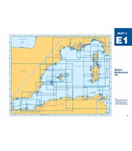
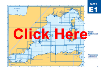
E1 - Western...
E1 - Western Mediterranean Sea $39.65 Hand corrected up-to-date. Admiralty standard nautical charts comply with Safety of Life at Sea (SOLAS) regulations and are ideal for professional, commercial and recreational use.
-
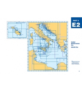
E2 - Central...
$39.65 Hand corrected up-to-date. Admiralty standard nautical charts comply with Safety of Life at Sea (SOLAS) regulations and are ideal for professional, commercial and recreational use.

-
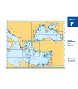
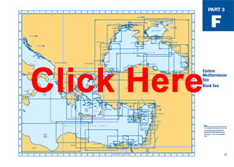
F - Eastern...
F - Eastern Mediterranean Sea, Black Sea $39.65 Hand corrected up-to-date. Admiralty standard nautical charts comply with Safety of Life at Sea (SOLAS) regulations and are ideal for professional, commercial and recreational use.
-
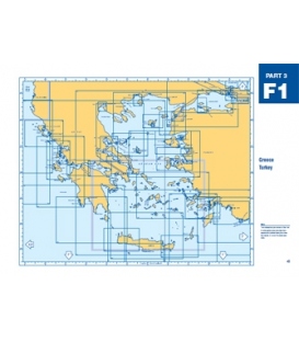
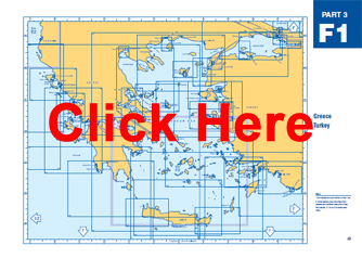
F1 - Greece, Turkey
F1 - Greece, Turkey $39.65 Hand corrected up-to-date. Admiralty standard nautical charts comply with Safety of Life at Sea (SOLAS) regulations and are ideal for professional, commercial and recreational use.
-
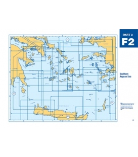
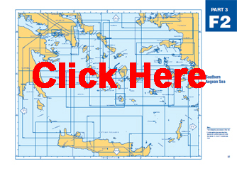
F2 - Southern Aegean Sea
F2 - Southern Aegean Sea $39.65 Hand corrected up-to-date. Admiralty standard nautical charts comply with Safety of Life at Sea (SOLAS) regulations and are ideal for professional, commercial and recreational use.
-
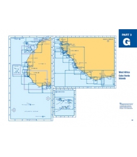
G - West Africa, Cabo...
G - West Africa, Cabo Verde Islands $39.65 Hand corrected up-to-date. Admiralty standard nautical charts comply with Safety of Life at Sea (SOLAS) regulations and are ideal for professional, commercial and recreational use.
-
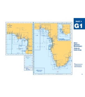
G1 - Africa (Ghana to...
G1 - Africa (Ghana to Mozambique), Tristan da Cunha Group $39.65 Hand corrected up-to-date. Admiralty standard nautical charts comply with Safety of Life at Sea (SOLAS) regulations and are ideal for professional, commercial and recreational use.
-
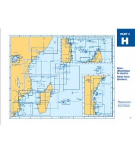
H - Africa (Mozambique...
-
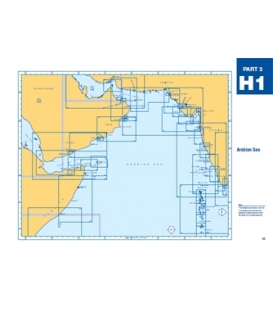
H1 - Arabian Sea
$39.65 Hand corrected up-to-date. Admiralty standard nautical charts comply with Safety of Life at Sea (SOLAS) regulations and are ideal for professional, commercial and recreational use.
-

H2 - Red Sea
$39.65 Hand corrected up-to-date. Admiralty standard nautical charts comply with Safety of Life at Sea (SOLAS) regulations and are ideal for professional, commercial and recreational use.
-
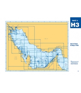
H3 - Gulf of Oman to...
$39.65 Hand corrected up-to-date. Admiralty standard nautical charts comply with Safety of Life at Sea (SOLAS) regulations and are ideal for professional, commercial and recreational use.
-
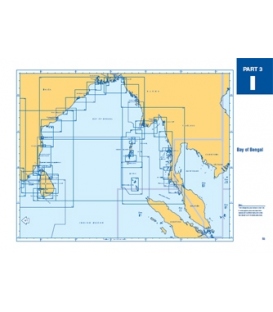
I - Bay of Bengal
I - Bay of Bengal $39.65 Hand corrected up-to-date. Admiralty standard nautical charts comply with Safety of Life at Sea (SOLAS) regulations and are ideal for professional, commercial and recreational use.
-
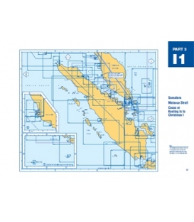
I1 - Sumatera, Malacca...
I1 - Sumatera, Malacca Strait, Cocos, Keeling Is to Christmas I $39.65 Hand corrected up-to-date. Admiralty standard nautical charts comply with Safety of Life at Sea (SOLAS) regulations and are ideal for professional, commercial and recreational use.
-
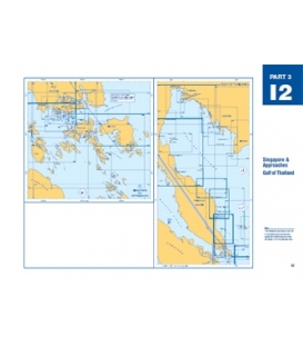
I2 - Singapore &...
I2 - Singapore & Approaches, Gulf of Thailand $39.65 Hand corrected up-to-date. Admiralty standard nautical charts comply with Safety of Life at Sea (SOLAS) regulations and are ideal for professional, commercial and recreational use.
-
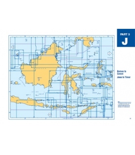
J - Borneo to Ceram,...
J - Borneo to Ceram, Jawa to Timor $39.65 Hand corrected up-to-date. Admiralty standard nautical charts comply with Safety of Life at Sea (SOLAS) regulations and are ideal for professional, commercial and recreational use.
-
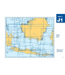
J1 - Borneo Jawa
J1 - Borneo Jawa $39.65 Hand corrected up-to-date. Admiralty standard nautical charts comply with Safety of Life at Sea (SOLAS) regulations and are ideal for professional, commercial and recreational use.
-
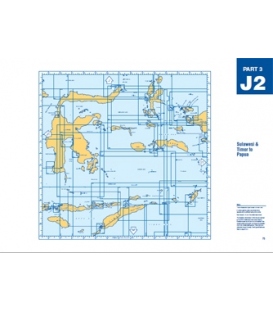
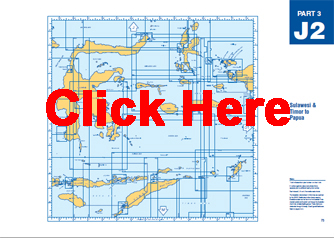
J2 - Sulawesi & Timor...
J2 - Sulawesi & Timor to Papua $39.65 Hand corrected up-to-date. Admiralty standard nautical charts comply with Safety of Life at Sea (SOLAS) regulations and are ideal for professional, commercial and recreational use.
-

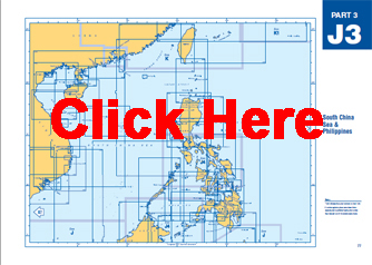
J3 - South China Sea &...
$39.65 Hand corrected up-to-date. Admiralty standard nautical charts comply with Safety of Life at Sea (SOLAS) regulations and are ideal for professional, commercial and recreational use.
-
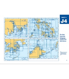
J4 - Zhu Jiang, Hong...
$39.65 Hand corrected up-to-date. Admiralty standard nautical charts comply with Safety of Life at Sea (SOLAS) regulations and are ideal for professional, commercial and recreational use.
-
K - South East China,...
K - South East China, Chang Jiang, Taiwan $39.65 Hand corrected up-to-date. Admiralty standard nautical charts comply with Safety of Life at Sea (SOLAS) regulations and are ideal for professional, commercial and recreational use.
-
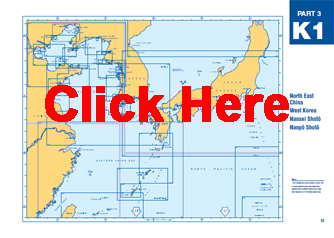
K1 - North East China,...
K1 - North East China, West Korea, Nansei Shoto, Nanpo Shoto $39.65 Hand corrected up-to-date. Admiralty standard nautical charts comply with Safety of Life at Sea (SOLAS) regulations and are ideal for professional, commercial and recreational use.
-
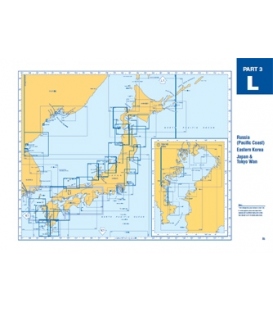
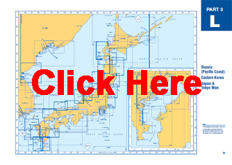
L - Russia (Pacific...
L - Russia (Pacific Coast), Eastern Korea, Japan & Tokyo Wan $39.65 Hand corrected up-to-date. Admiralty standard nautical charts comply with Safety of Life at Sea (SOLAS) regulations and are ideal for professional, commercial and recreational use.
-
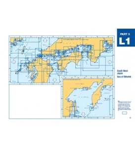
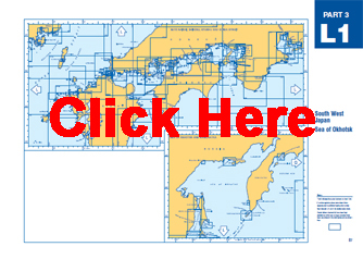
L1 - South West Japan,...
L1 - South West Japan, Sea of Okhotsk $39.65 Hand corrected up-to-date. Admiralty standard nautical charts comply with Safety of Life at Sea (SOLAS) regulations and are ideal for professional, commercial and recreational use.
-
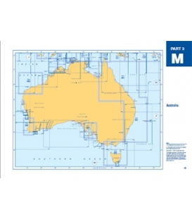
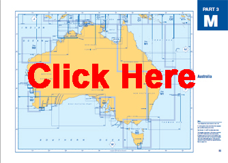
M - Australia
M - Australia $39.65 Hand corrected up-to-date. Admiralty standard nautical charts comply with Safety of Life at Sea (SOLAS) regulations and are ideal for professional, commercial and recreational use.
-
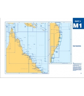
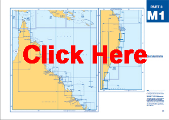
M1 - East Australia
M1 - East Australia $39.65 Hand corrected up-to-date. Admiralty standard nautical charts comply with Safety of Life at Sea (SOLAS) regulations and are ideal for professional, commercial and recreational use.
-
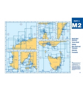
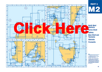
M2 - NW Australia,...
M2 - NW Australia, Torres, Sydney, Bass, Tasmania, Adelaide $39.65 Hand corrected up-to-date. Admiralty standard nautical charts comply with Safety of Life at Sea (SOLAS) regulations and are ideal for professional, commercial and recreational use.
-
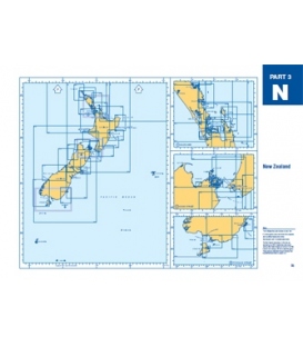
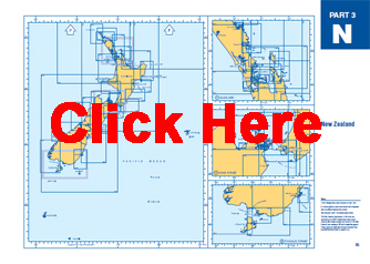
N - New Zealand
N - New Zealand $39.65 Hand corrected up-to-date. Admiralty standard nautical charts comply with Safety of Life at Sea (SOLAS) regulations and are ideal for professional, commercial and recreational use.
-
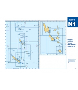
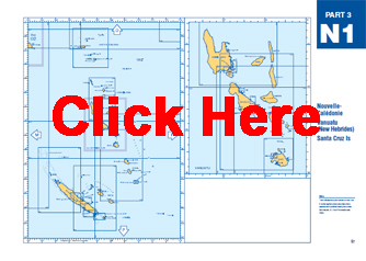
N1 -...
$39.65 Hand corrected up-to-date. Admiralty standard nautical charts comply with Safety of Life at Sea (SOLAS) regulations and are ideal for professional, commercial and recreational use.
-
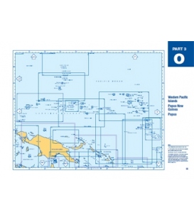
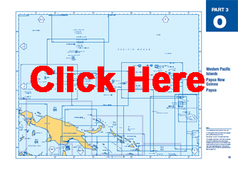
O - Western Pacific...
O - Western Pacific Islands, Papua New Guinea, Papua $39.65 Hand corrected up-to-date. Admiralty standard nautical charts comply with Safety of Life at Sea (SOLAS) regulations and are ideal for professional, commercial and recreational use.
-

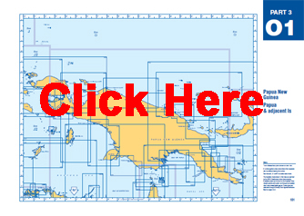
O1 - Papua New Guinea,...
O1 - Papua New Guinea, Papua & adjacent Is $39.65 Hand corrected up-to-date. Admiralty standard nautical charts comply with Safety of Life at Sea (SOLAS) regulations and are ideal for professional, commercial and recreational use.
-
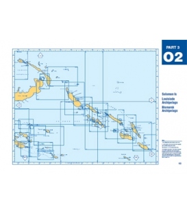
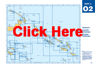
O2 - Solomon Is,...
O2 - Solomon Is, Louisiade Archipelago, Bismarck Archipelago $39.65 Hand corrected up-to-date. Admiralty standard nautical charts comply with Safety of Life at Sea (SOLAS) regulations and are ideal for professional, commercial and recreational use.
-
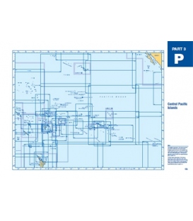
P - Central Pacific...
P - Central Pacific Islands $39.65 Hand corrected up-to-date. Admiralty standard nautical charts comply with Safety of Life at Sea (SOLAS) regulations and are ideal for professional, commercial and recreational use.
-
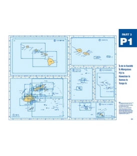
P1 - Is de la Societe,...
P1 - Is de la Societe, Marquises, Fiji, Hawaiian, Samoa, Tonga $39.65 Hand corrected up-to-date. Admiralty standard nautical charts comply with Safety of Life at Sea (SOLAS) regulations and are ideal for professional, commercial and recreational use.
-
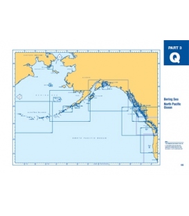
Q - Bering Sea, North...
Q - Bering Sea, North Pacific Ocean $39.65 Hand corrected up-to-date. Admiralty standard nautical charts comply with Safety of Life at Sea (SOLAS) regulations and are ideal for professional, commercial and recreational use.
-
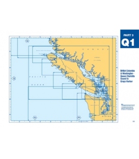
Q1 - British...
Q1 - British Col./Washington, Queen Charlotte Snd to Grays Hbr $39.65 Hand corrected up-to-date. Admiralty standard nautical charts comply with Safety of Life at Sea (SOLAS) regulations and are ideal for professional, commercial and recreational use.
-
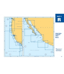
R - United States of...
R - United States of America (West), Mexico $39.65 Hand corrected up-to-date. Admiralty standard nautical charts comply with Safety of Life at Sea (SOLAS) regulations and are ideal for professional, commercial and recreational use.
-
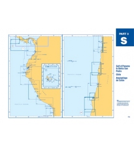
S - Gulf Panama Bahia...
S - Gulf Panama Bahia San Pedro, Chile, Arquipelago de Colon $39.65 Hand corrected up-to-date. Admiralty standard nautical charts comply with Safety of Life at Sea (SOLAS) regulations and are ideal for professional, commercial and recreational use.
-
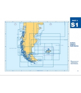
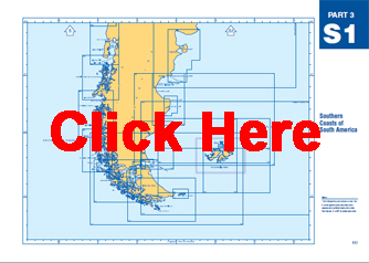
S1 - Southern Coasts...
S1 - Southern Coasts of South America $39.65 Hand corrected up-to-date. Admiralty standard nautical charts comply with Safety of Life at Sea (SOLAS) regulations and are ideal for professional, commercial and recreational use.
-
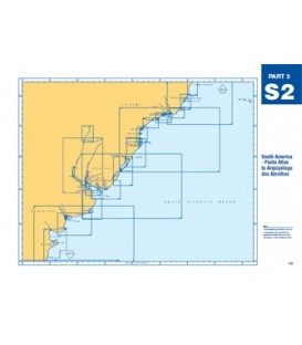
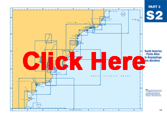
S2 - South America -...
$39.65 Hand corrected up-to-date. Admiralty standard nautical charts comply with Safety of Life at Sea (SOLAS) regulations and are ideal for professional, commercial and recreational use.
-
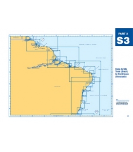
S3 - Cabo de Sao Tome...
S3 - Cabo de Sao Tome (Brazil) to Rio Orinoco (Venezuela) $39.65 Hand corrected up-to-date. Admiralty standard nautical charts comply with Safety of Life at Sea (SOLAS) regulations and are ideal for professional, commercial and recreational use.
-
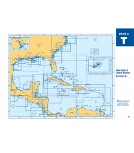
T - West Indies &...
T - West Indies & Central America, Bermuda Is $39.65 Hand corrected up-to-date. Admiralty standard nautical charts comply with Safety of Life at Sea (SOLAS) regulations and are ideal for professional, commercial and recreational use.
-
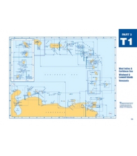
T1 - W Indies,...
T1 - W Indies, Caribbean, Windward/Leeward Isl, Venezuela $39.65 Hand corrected up-to-date. Admiralty standard nautical charts comply with Safety of Life at Sea (SOLAS) regulations and are ideal for professional, commercial and recreational use.
-
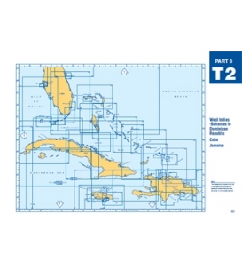
T2 - West Indies -...
T2 - West Indies - Bahamas to Dominican Republic, Cuba, Jamaica $39.65 Hand corrected up-to-date. Admiralty standard nautical charts comply with Safety of Life at Sea (SOLAS) regulations and are ideal for professional, commercial and recreational use.

-
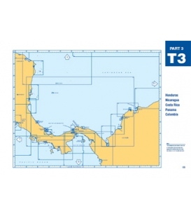
T3 - Honduras,...
T3 - Honduras, Nicaragua, Costa Rica, Panama, Columbia $39.65 Hand corrected up-to-date. Admiralty standard nautical charts comply with Safety of Life at Sea (SOLAS) regulations and are ideal for professional, commercial and recreational use.

-
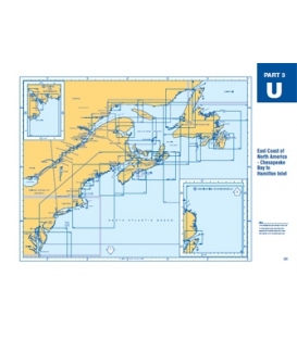
U - North America...
U - North America (East) - Chesapeake Bay to Hamilton Inlet $39.65 Hand corrected up-to-date. Admiralty standard nautical charts comply with Safety of Life at Sea (SOLAS) regulations and are ideal for professional, commercial and recreational use.
-
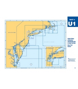
U1 - US Chesapeake Bay...
U1 - US Chesapeake Bay - Cape Cod Bay & New York Harbor $39.65 Hand corrected up-to-date. Admiralty standard nautical charts comply with Safety of Life at Sea (SOLAS) regulations and are ideal for professional, commercial and recreational use.
-
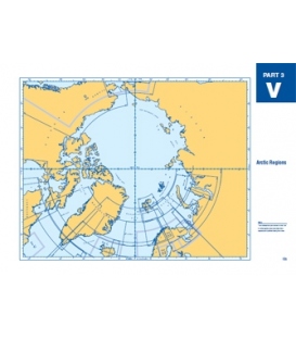
V - Arctic Regions
V - Arctic Regions $39.65 Hand corrected up-to-date. Admiralty standard nautical charts comply with Safety of Life at Sea (SOLAS) regulations and are ideal for professional, commercial and recreational use.
-
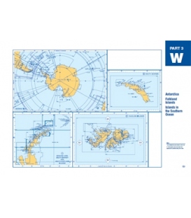
W - Antarctica,...
W - Antarctica, Falkland Islands, Islands in the Southern Ocean $39.65 Hand corrected up-to-date. Admiralty standard nautical charts comply with Safety of Life at Sea (SOLAS) regulations and are ideal for professional, commercial and recreational use.
-
World Miscellaneous...
-

Admiralty Routeing...
-

Plotting Diagrams and...
-

Ocean Plotting Sheets
-

Mercator Plotting Sheets
-

Gnomonic Charts
-

Instructional Charts
$9.45 Hand corrected up-to-date. Admiralty standard nautical charts comply with Safety of Life at Sea (SOLAS) regulations and are ideal for professional, commercial and recreational use.
-

UK Practice and...
-

Admiralty Mariners'...
Mariners' Routeing Guides provide important passage planning information and details of traffic separation schemes for major shipping areas.
-

Maritime Security Charts
Q.6099 Anti-Piracy Planning Chart Red Sea, Gulf of Aden and Arabian Sea
Q.6110 Maritime Security Chart, Mediterranean Sea
Q.6111 Maritime Security Chart, Persian Gulf and Arabian Sea
Q.6112 Maritime Security Chart, Andaman Islands to Philippines including Indonesia -

Port Approach Guides
-
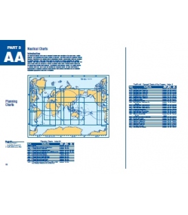
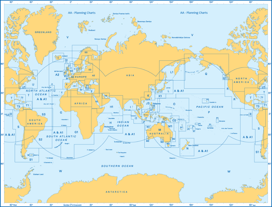
AA - Planning Charts
AA - Planning Charts $39.65 Hand corrected up-to-date. I deal for professional, commercial and recreational use.

-
British Admiralty Nautical Chart 8083 Port Approach Guide Laem Chabang Port and Si Racha
***CANCELED NO REPLACEMENT***
-
British Admiralty Nautical Chart 8085 Port Approach Guide Goteborg
***Canceled with no replacement
-
British Admiralty Nautical Chart 8086 Port Approach Guide Approaches To Goteborg
***Canceled with no replacement
-
British Admiralty Nautical Chart 8121 Port Approach Guide Istanbul
*** Canceled, with no replacement (NM 16/23)
-
-
-
British Admiralty Nautical Chart 8239 Port Approach Guide, La Spezia
$53.55Canceled w/o replacement


- 1
- 2