Sign up for our Newsletter


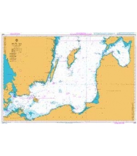
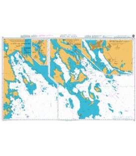
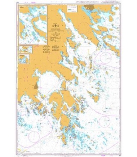
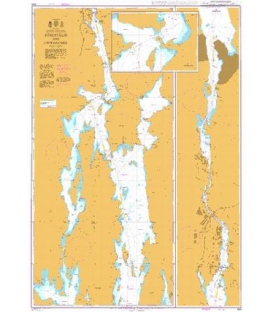
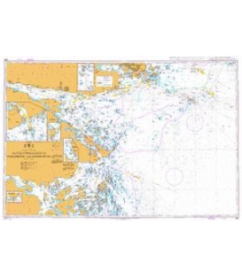
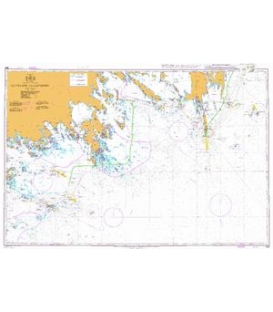
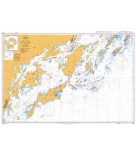
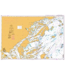
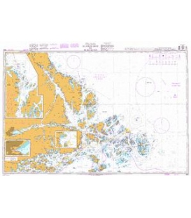
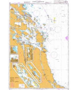
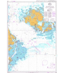
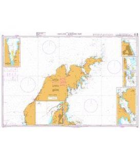
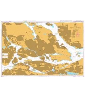
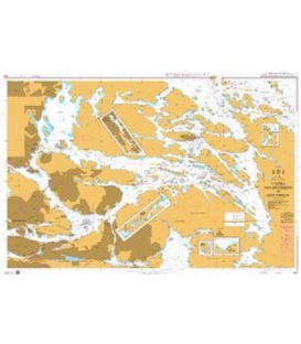
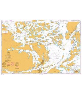
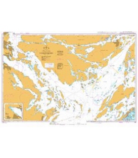
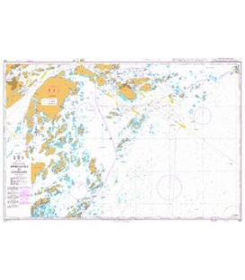
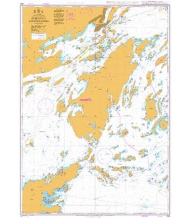
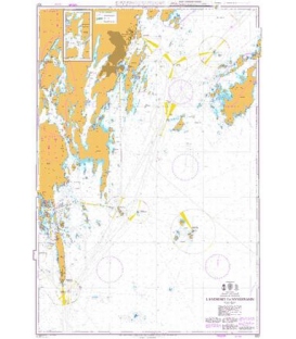
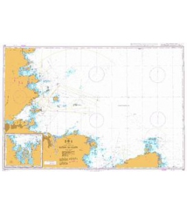
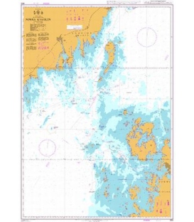
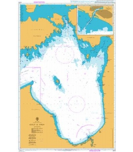
British Admiralty Nautical Chart 2054 Baltic Sea - Sweden - East Coast, Öland to Gotland with Kalmarsund


INT.1203, Baltic Sea, Sweden - E. Coast
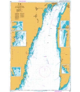
Oland to Gotland with Kalmarsund (250,000)
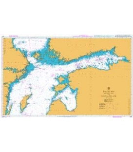
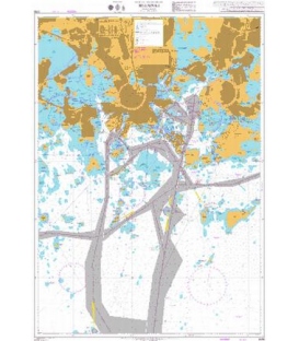
Plan A. Ronehamn (50,000)
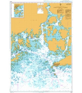
Plan B. Approaches to Klintehamn (50,000)
Plan C. Klintehamn (12,500)
Plan D. Karehamn (10,000)
(A modified reproduction of Swedish chart SE71)
Edition: Aug 2022
British Admiralty Nautical Chart 2054 Baltic Sea - Sweden - East Coast, Öland to Gotland with Kalmarsund
is corrected up to date. Admiralty standard nautical charts comply with Safety of Life at Sea (SOLAS) regulations and are ideal for professional, commercial and recreational use. Charts within the series consist of a range of scales, useful for passage planning, ocean crossings, coastal navigation and entering port. Mariners should always use the largest scale nautical chart appropriate to their needs. In particularly busy seaways such as the English Channel, Gulf of Suez and the Malacca and Singapore Straits, the standard nautical charts are supplemented by mariners routeing guides which provide advice on route planning in these complex areas.